Timeline landscape and environment
![]() |
Palaeolithic 450,000 – 12,000 BC |
![]() |
Mesolithic 12,000 – 4,000 BC |
![]() |
Neolithic 4,000 – 2,000 BC |
![]() |
![]() |
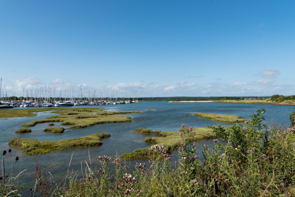
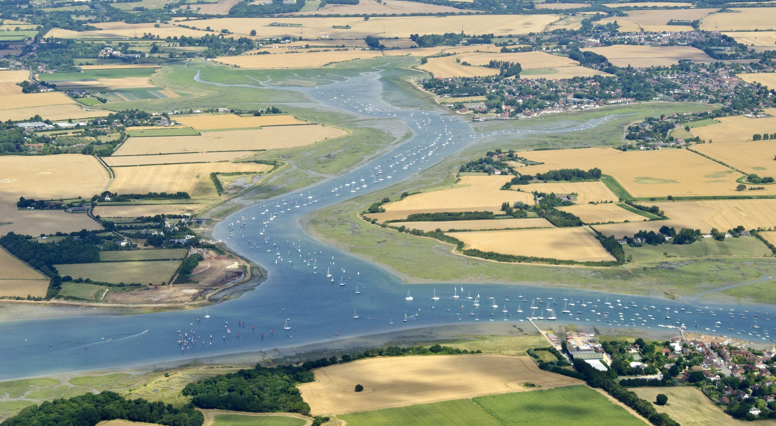
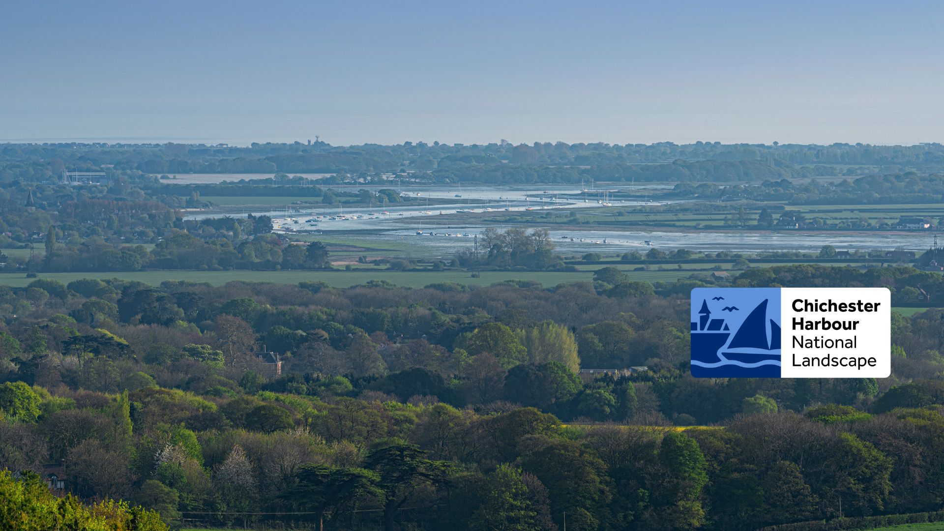
The landscape of the harbour looked as it does today, a flooded landscape, with underwater channels and large mudflats between islands of low ground.The streams and rivers were probably tidal, with salt marsh along their edges fringed with alder carr and sedge fen. Drier land is likely to have been grassland, with oak, yew, alder and willow. Farmland and woodland would look similar to today. |
![]() |
![]() |
The harbour now had a similar indented coastline as it has today, although sea levels were 1-2 metres lower then. Shingle bars continued to form, allowing the land behind them to be used. Large areas of the harbour were salt marsh and ideal for salt extraction. The land was used for farming, with fields and meadows for grazing animals. Woodland of oak with beech and ash trees in the harbour would have had animals such as wild boar living in it. |
![]() |
![]() |
During the Roman Age, sea levels were lower than today.There were large areas of salt marsh. Rich soil areas were cleared of trees and used to raise crops. Meadows at sea level were used for grazing animals. Some woods were probably coppiced at this time, and the timber used in buildings and industries such as salt working and tile making. A Roman road stretched along the top of the Harbour area (the present A259), and possibly from Dell Quay to Chichester. |
![]() |
![]() |
After the Roman army left, the number of people living and working in the area became smaller, with less farming and fewer villages. With less crops being grown, more pasture and woodland developed. The better soils in the area were probably used for crops, the poorer soils as pasture for animals, the wet valleys for meadow and the woodland for timber and grazing. Salt workings are listed in the Domesday Book, for example in South Hayling there is Mengham Saltern, so there were large areas of flooded salt marsh. After around 900AD trade started to increase. Villages grew in size and number and farming increased. The landscape would have looked similar to today, with fields and woodland and roads and villages (of course far fewer people lived in the harbour area then). |
![]() |
![]() Medieval Landscape |
Between 1048 and 1298 sea levels stayed the same, but at the end of the 13th century sea levels rose rapidly, with storms and flooding for the next 100 years. A large part of the harbour area was lost to the sea, for example 40 acres were lost on Thorney Island between 1300 and 1340. |
![]() |
Woodland
![]() Langstone Mill Pond |
Many features of the Harbour landscape from this time remain today, such as mills, churches, villages, copses and field boundaries. |
![]() |
![]() ![]() |
During the last century there were 2 World Wars, which had an impact on the landscape. Concrete bunkers were built around the harbour to defend it from an enemy attack. Areas of the Harbour were cleared for airfields. At Cobnor there was an airfield used in WW1. At Apuldram there was an airfield used in WW2. The areas around West Wittering, Itchenor and Cobnor were made to look like airfields to trick enemy bombers away from the real airfields. After the war these areas went back to farmland. Some of the concrete blocks used for defences are now used as sea walls. |