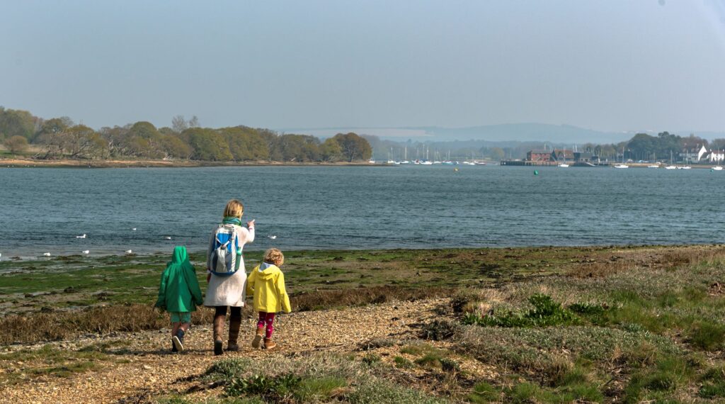
Walking is the perfect way to discover the landscape and wildlife of Chichester Harbour. There are over 56 miles of public footpaths with a further 7 miles of permissive routes across the Area of Outstanding Natural Beauty. Many of these paths run right along the shoreline, giving fantastic views across the water and perfect places to stop and birdwatch. Others cut across farmland and through picturesque Harbour villages.
Chichester Harbour is a protected landscape of national importance, an Area of Outstanding Natural Beauty (AONB). There are 19 key viewpoints that we think capture the qualities of this special harbour landscape: tranquility, history, wide skies, open sea views, harbour channels, boating activity, saltmarsh, sand dunes, reedbeds, shoreline trees, ancient woodlands, quiet creeks and vibrant villages with the South Downs National Park as a backdrop. Download the map and share your photos on social media using #chiharbourviews
You may wish to capture the same views at different times of the day or of the year and experience how they change whilst staying contantly iconic.

Recommended Routes
Emsworth to Langstone Oysterbeds
10km / 6 miles
A shoreline walk from Emsworth to Langstone in Chichester Harbour with an extension to the Hayling Billy Line and Old Oyster Beds in Langstone Harbour. The route floods at high tide in a couple of places, so check the tide times before setting out.
Prinsted and Nutbourne Circular
3km / 2 miles
A stroll along easy paths, with one old-fashioned stile, following the shoreline from Prinsted to Nutbourne Bay with views of the Thorney Channel. Ideal for bird watching in the wintertime on the mudflats at low tide. In summer watch the dinghy sailing at high tide.
Itchenor to West Wittering Circular
18km / 11 miles
A circular walk from Itchenor to East and West Wittering. Includes sections along the shoreline, fields and coastline with views to the Isle of Wight, before reaching West Wittering beach and the dunes of East Head.
Itchenor Circular
6km / 4 miles
A walk encircling the Harbour village of Itchenor, passing through farmland, attractive housing and along the shoreline path, with splendid views of the Harbour.
Chichester Marina to Dell Quay
7.5km / 4.5 miles
A short figure-of-eight walk taking in one of the largest marinas in the country and the tiny village of Dell Quay which was once a busy commercial port.
West Wittering Beach & East Head
6km / 4 miles
A walk along the sandy beach of West Wittering and around the sand dunes of East Head with far-reaching views across to the Isle of Wight.
Thorney Island Circular
14 km / 9 miles
The ideal walk if you love sea views beginning in Emsworth and heading south east to the shoreline of Thorney Island, famous for its role as an airfield during WWII. Much of the land is controlled by the MOD, so please note any signage before starting out. At Marker Point look out for seals. There are no facilities on the island.
Two Villages and a Ferry
16km / 10 miles
Starting in the village of Bosham, the walk cuts across the peninsula then passes through reedbeds to a traditionally managed meadow. Heading down the Fishbourne Channel, the route goes through Dell Quay before arriving at Itchenor to catch the seasonal ferry across the channel.
Chidham Circular
9km / 6 miles
A shoreline and countryside walk of the Chidham peninsula in the Chichester Harbour Area of Outstanding Natural Beauty with great views of the Bosham and Thorney channels and to the Harbour entrance. Check when high tide is before setting out as part of the route is tidal but it is lovely to see the tide part way in.
Chichester to Bosham
7km / 4 miles
Starting in the heart of Chichester, this one-way walk leads through urban outskirts to the meadows at Fishbourne. The route then takes in sections of the shoreline before it reaches the ancient village of Bosham. This walk can be extended by following ‘Across the Harbour’.
Across the Harbour
10km / 6 miles
A one way walk across the top of the Harbour channels, ending in the vibrant village of Emsworth. This can be extended as a continuation of the Chichester to Bosham walk.
Sandy Point Stroll
3km / 2 miles
This short walk on Hayling Island has splendid views of the Harbour entrance, the Sandy Point Nature Reserve, and to the wider Solent in general.
Six Harbour Villages
16km / 10 miles
An attractive walk in the Chichester Harbour Area of Outstanding Natural Beauty walking through the countryside and along the shoreline of six Harbour villages and crossing a channel by ferry.
Easier Access Routes
Itchenor
1.6km / 1 mile
From Itchenor car park follow the John Davis permissive path to the shoreline. Follow the path left to a viewpoint looking across the Harbour to the Bosham Channel. Return the same way if using a wheelchair, or if not you can go via a path through the boatyard to reach the viewing platform by the Harbour Office.
Emsworth
1.6km / 1 mile
A stroll on good paths around the thriving Harbour side settlement of Emsworth with a choice of cafés and pubs. Check for high tide in order to see the water and boating activity. Solar Heritage, our solar powered boat operates from the public jetty during the summer holidays. It has a wheelchair ramp.
Bosham
2km / 1.5 miles
A circular route from the village car park passing the shops of Bosham Walk, the church and the quayside with splendid views to the Harbour. It follows the shoreline road and raised pathway called The Trippett, past pretty houses and a pub called The Berkeley Arms and The Millstream Hotel.
Chichester Marina
1.7km / 1 mile
A lovely stroll around the perimeter of Chichester Marina with two short optional extensions of walking around Salterns Copse and visiting Birdham Pool. The circuit around the Marina perimeter is suitable for visitors who use a wheelchair or mobility scooter.
North Common
2km / 1.25miles
A short stroll through scrub and along the shoreline, with views to Emsworth and the South Downs. At the start is a kissing gate and a 1-bar gate with a RADAR padlock. Suitable for those using a wheelchair or mobility scooter for about half the total distance. Great for winter bird watching.
Chichester Harbour Trail – Three days of walks
For a longer, multi-day walk to see the best of Chichester Harbour, try our self-guided three day trail:
Day One A 18km (11½ mile) linear coastal and shoreline route of Chichester Harbour starting at the famous sandy beach at West Wittering and passing by the National Trust sand dunes of East Head, Itchenor, a hub for sailing and the base for the Chichester Harbour Conservancy, Birdham, home to Chichester Marina, Dell Quay which has the Crown and Anchor pub on the shoreline and finishing by the Mill Pond in Fishbourne.
Day Two A 15km (9½ mi) linear countryside and shoreline walk in the Chichester Harbour AONB (Area of Outstanding Natural Beauty) starting by the pond in Fishbourne and heading west, crossing a peninsula to the picturesque settlement of Bosham and then heading north and around the head of the Bosham Channel before following the shoreline of the Chidham peninsula, finishing in Nutbourne at the head of the Thorney Channel.
Day Three A 17km (11 mile) linear walk along the shoreline of Chichester Harbour Area of Outstanding Natural Beauty (AONB). This third day begins at Nutbourne and heads west through Prinsted and then south to follow the shoreline of Thorney Island all the way round until it reaches Emsworth. From here the route heads along the quay wall and westwards to Warblington, finishing in Langstone
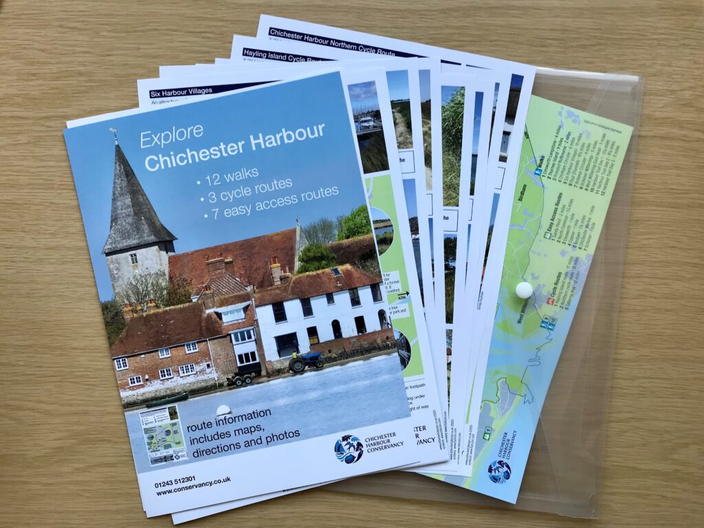
All walks are available as an A4 sized pack entitled Explore Chichester Harbour which can be purchased from the Harbour Office for £12. Alternatively, we recommend OS Explorer Map OL8 (Chichester) when walking in this area.

Walking Tips
- Before you set out, check for closures or diversions on our footpath news page.
- Please respect other people you may encounter on your walk, some of the more popular footpaths are very busy at different times of the year, particularly between Fishbourne and West Wittering and also Prinsted to Cobnor Point.
Walking in Hampshire and West Sussex
The counties of Hampshire and West Sussex offer some of the best walking in the south. Plan your next route by visiting Walking in Hampshire or Walking in West Sussex.